As I walk around San Francisco during the Time of the Plague I am often delighted/confronted by special sights that would never be allowed in any “well organized” city plan.
Previously I have discovered a street with two END signs blocks apart (St. Marys) and a street with no beginning but two ENDS (Hilton). Today I confirmed another city planning/street labeling impossibility: there is apparently a negative block of Pacheco.
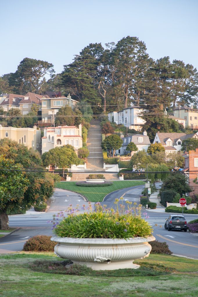
Looking up the Pacheco stairs from where there is a sign announcing the start of the street at the 000 block headed toward the Grand Pacheco Stairway 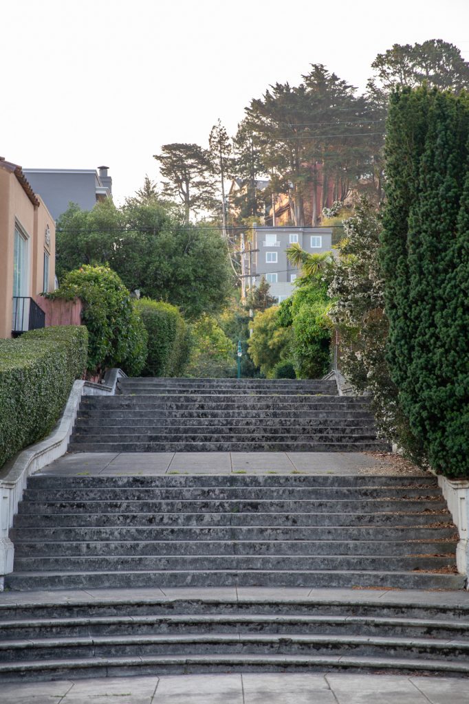
Looking away from The Grand Pacheco Stairway from the same spot There is a less grand but pretty massive stairway
On the maps, the less grand stairs to the southeast are clearly labeled Pacheco Street, even though the street to the northwest is clearly labeled the 000 block of Pacheco.
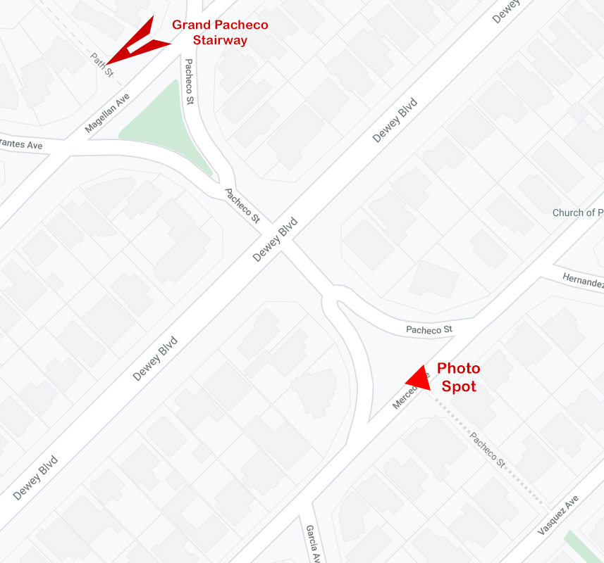
So, apparently there is a negative and positive 000 block of Pacheco.
Actually, I first became aware of the problem of identifying the start of Pacheco when I was following a trek in The Stairway Walks of San Francisco. The instructions had me going along Vasquez and then turning left on to Pacheco Street. But, there is no real Pacheco Street that runs into Vasquez. There’s an opening that reveals the stairs above in the picture on the right, but there’s no street sign. So, I kept walking and wound up having to check a map, walk around the neighborhood, and eventually rediscover Pacheco at Merced where today’s photos were taken.
But, I do wonder how you get help if you slip and fall on the stairs in the -000 block. Tell the paramedics you’re about -47 Pacheco Street between Merced and Vasquez?
Leave A Comment